Systematic evaluation of mineral potential from grassroots reconnaissance through to resource definition. Our integrated geological, geophysical, and geochemical surveys precision-target economic mineralization.
Detailed lithological and structural mapping utilizing differential GPS and digital field tablets. Our geologists characterize rock units, alteration zones, and structural controls with precision.
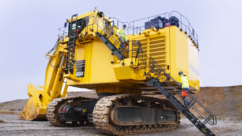
Precise subsurface sampling using HQ, NQ, and BQ diameter coring systems. Our drill rigs operate in challenging terrain with minimal environmental footprint.
Non-invasive subsurface investigation using induced polarization (IP), resistivity, magnetometry, and electromagnetic methods to detect anomalies.
Systematic collection and analysis of soil, rock, stream sediment, and vegetation samples using multi-element ICP-MS and fire assay techniques.
Initial evaluation of geological terranes utilizing satellite imagery, historical data compilation, and regional stream sediment sampling to identify priority targets.
Detailed ground-based follow-up including geological mapping, geophysical surveys, and geochemical grids to delineate drill-ready targets.
Diamond drilling to test depth continuity of mineralization. Core logging, photography, and cutting for assay to confirm economic viability.
3D geological modeling using Leapfrog or similar software. Variography and grade interpolation using kriging or inverse distance methods for compliant reporting.
| Specification | Surface Coring | Underground Coring | RC Drilling |
|---|---|---|---|
| Hole Diameter | HQ (63.5mm) / NQ (47.6mm) | NQ (47.6mm) / BQ (36.5mm) | 5.5" (140mm) |
| Maximum Depth | 1,200 meters | 600 meters | 400 meters |
| Drill Rig Type | Track-mounted LM-75 | Modular AU-150 | PRD-450 Truck |
| Power Source | Diesel-hydraulic | Electric (415V) | Diesel-air |
| Core Recovery | 95-98% | 92-96% | N/A (Chips) |
Comprehensive exploration services tailored to your geological setting. From initial targeting to resource reporting.
Begin Exploration